Indoor-Outdoor Localization
Localizing and navigating indoor and outdoor terrains using a Velodyne 3D LiDAR and GPS
April 2023 — May 2023
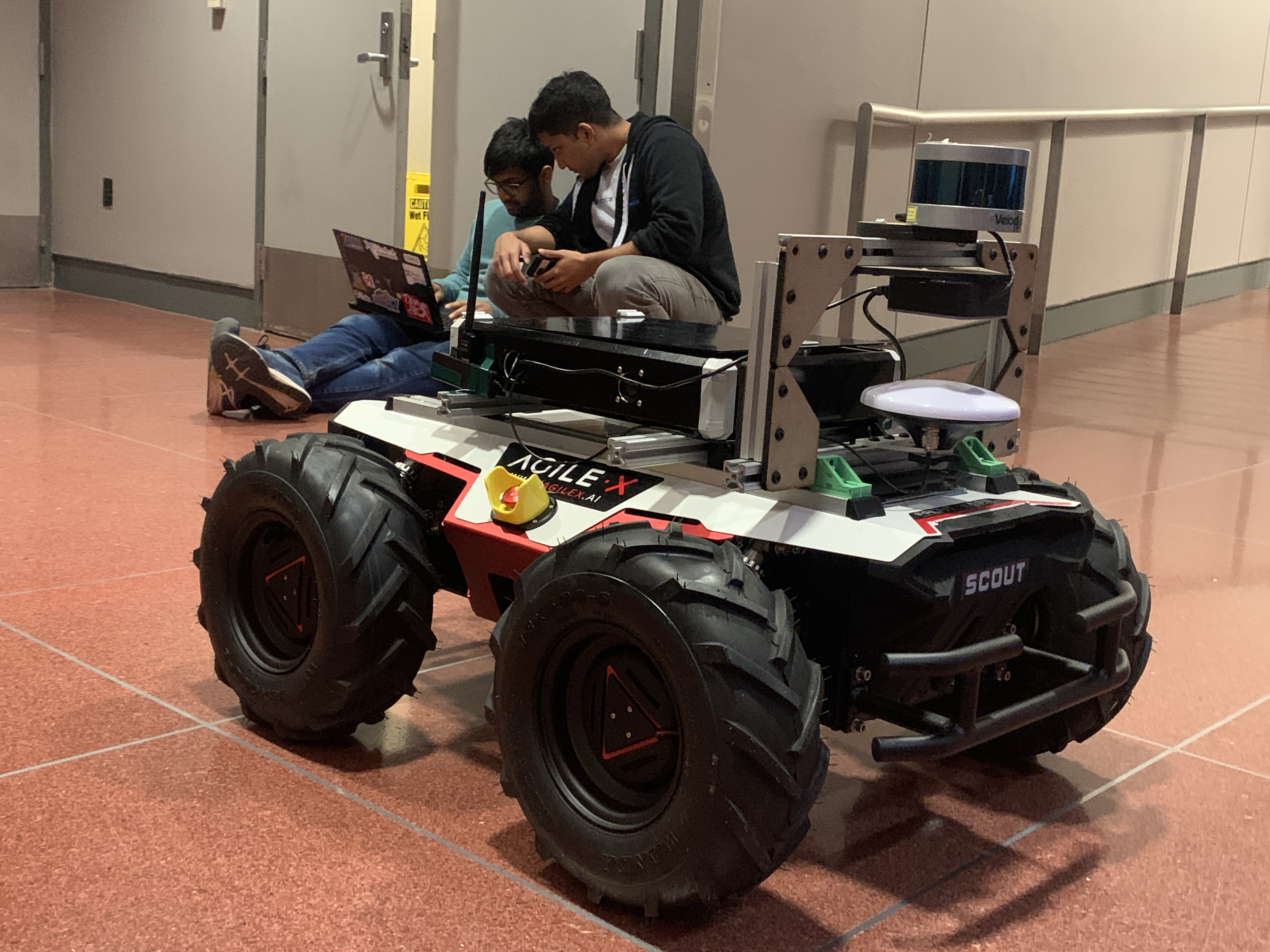
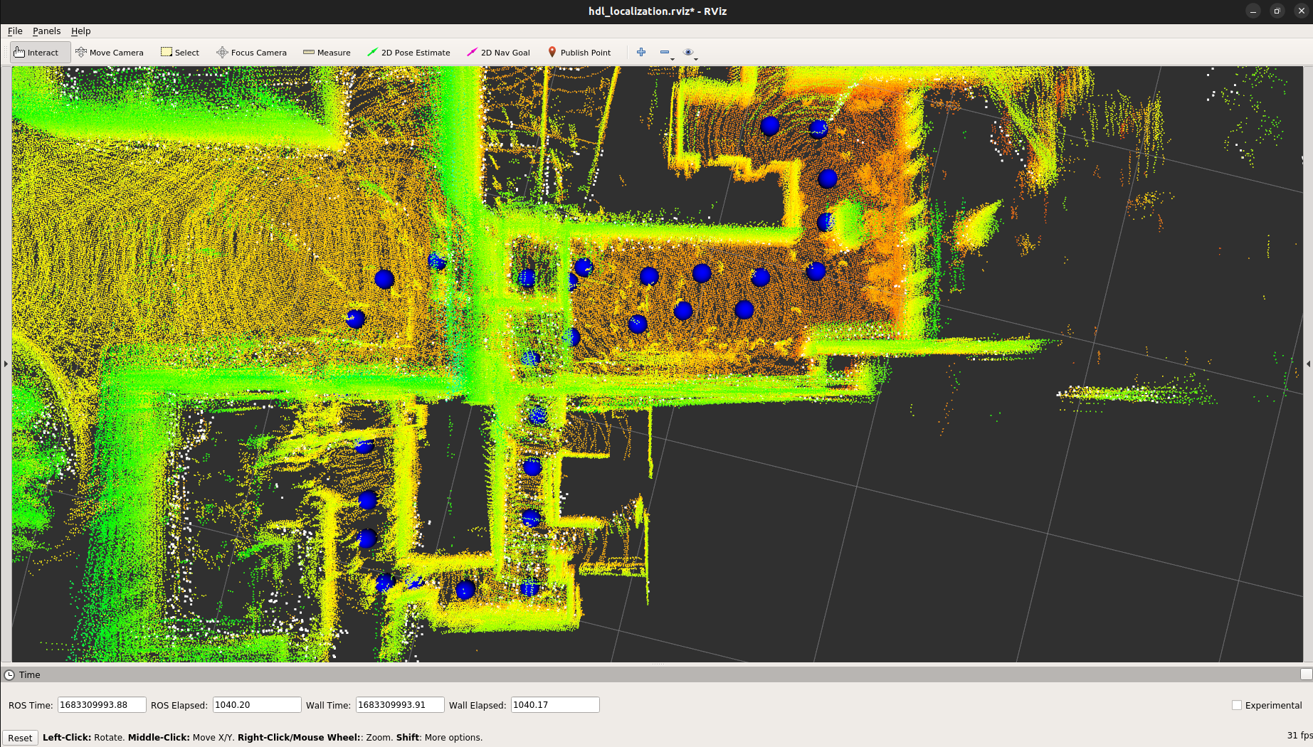
This project implements algorithms for localization in environments comprising both indoor and outdoor regions on the AgileX Scout 2.0 ground robot outfitted with a Velodyne VLP-16 LiDAR and GPS. Our work presents a factor graph-based approach to localization. We perform sensor fusion between LiDAR and GPS data using the GTSAM library in hybrid maps where LiDAR alone may be insufficient. A highly accurate map was collected using the 3D Graph SLAM approach from and LiDAR localization in subsequent trials was performed using the same library. A set of waypoints were manually placed in the map and autonomously tracked using Pure Pursuit to complete a loop through Penn Engineering buildings. We confirmed that LiDAR localization predictably failed in the outdoor region of our map. As the outdoor region of our test environment is surrounded by tall buildings, we were unable to obtain GPS data consistently. Thus we evaluated our sensor fusion algorithm using a simulated dataset derived from actual map waypoints and synthetic noise. The filtering result from the factor graph produced excellent tracking in both indoor and outdoor regions of the simulated trajectory - following the LiDAR estimate closely in indoor regions and appropriately incorporating GPS and odometry readings in outdoor regions where LiDAR lost localization entirely.

